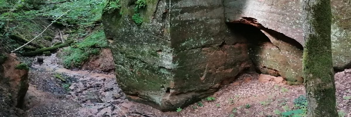
Only 2-3 km from the Sigulda station square are the deep Vejupite gorge and the valley of the Gauja, where you can find interesting natural objects. The trail is suitable for hikers who are not afraid to climb the steep slopes of the deep Vejupite gorge.
Lengths of the hiking trail: ~ 10 km; ~ 4 hours
Description of the route: Sigulda Railway Station (Station Square) – Raina Street – Pils Street – Livkalna Street – Peteralas Street – Vejupīte Gorge – Vejupīte estuary in Gauja – Paradise Hill – Miera Street – Livkalna Street – Pils Street – New Castle – Sigulda Castle ruins – Gauja Street – Raina Street – Sigulda Railway Station (Station Square).
Level of difficulty: Medium to difficult. Certain sections – steep gorge banks – may be more difficult to overpass because of their steep slopes.
Recommended time: All year-round. Particularly recommended during the flowering of bird-cherry trees, colourful autumn leaves and beautiful winter days when there is little snow that does not interfere with walking on the paths. Early spring is also suitable when the foliage of trees and bushes does not obscure the view of the valley.
Road surface: Asphalt (in the city), forest roads, paths, wooden stairs on the slopes of ravines.
Start/end point: Sigulda Station Square.
Signs: The route is not marked in nature.